carto.com
Cloud-native location intelligence platform for spatial analytics. Analyze, visualize, and develop apps with your spatial data at a limitless scale.

Description
Carto is a powerful platform designed for spatial data analysis and visualization, making it easier to interpret and manipulate geographic data. It offers tools for developers, data scientists, and businesses who want to harness the potential of location data in their applications. Below is an in-depth overview of its key features and functionalities:
Key Features
-
Data Integration: Carto supports integration with various data sources, including databases (PostGIS, MySQL), APIs, and flat files (CSV, GeoJSON). This allows users to create comprehensive datasets from different origins.
-
Spatial Data Management: Users can efficiently manage spatial data, ensuring data quality and integrity, alongside the ability to conduct complex queries and analyses.
-
User-Friendly Interface: Carto provides a user-friendly, intuitive interface that allows users to create maps without extensive programming knowledge. This democratizes access to geographic data analysis.
-
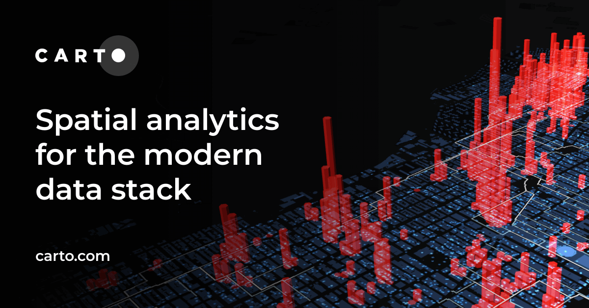
Mapping and Visualization: The platform enables users to create high-quality, interactive maps with customizable styles. Users can visualize large datasets effectively, helping to uncover patterns and trends.
-
Advanced Analytics: Carto integrates analytical tools that empower users to extract insights from their geographic data. Users can perform spatial analysis, clustering, and demographic studies directly within the platform.
-
Collaboration Tools: Carto facilitates collaboration among teams by allowing multiple users to share projects, visualizations, and datasets seamlessly.
-
APIs and SDKs: For developers, Carto offers robust APIs and SDKs to integrate mapping capabilities directly into applications, allowing for real-time geographic visualizations.
-
Support for Fictional Data and Simulations: Carto can be used for various applications such as urban planning, transportation modeling, environmental studies, and business location analysis, giving users the ability to model potential future scenarios with spatial data.
Use Cases
- Urban Planning: Cities utilize Carto for planning infrastructure projects, analyzing population data, and assessing environmental impacts.
- Business Intelligence: Companies leverage Carto's capabilities to visualize market trends, optimize logistics, and target marketing campaigns based on geographic data.
- Research and Academia: Researchers use Carto for its analytical capabilities to study various spatial phenomena, including public health, climate change, and sociological trends.
Conclusion
Carto stands out as a comprehensive platform for users needing to analyze and visualize spatial data effectively. Its blend of user-friendly features, advanced analytics, and mapping tools makes it an essential resource for businesses and researchers looking to make data-driven decisions based on geographic information.
For more details, visit Carto.com.